
Bolingbrook ZIP Coverage Guide
Two ZIP codes dominate current Bolingbrook local instructions: 60440 and 60490. USPS label data also associates 60439 with Bolingbrook as an alternate label, but it is primarily a Lemont ZIP and should not be treated as a third broad Bolingbrook service area. The official answer for one property comes from the full street address, not from a city-name list.
| ZIP | Areas Covered | Post Office | Notes |
|---|---|---|---|
| 60440 | Established Bolingbrook areas and shared postal territory | Bolingbrook Post Office, 105 Canterbury Lane | May include addresses beyond Village limits |
| 60490 | Newer south and southwest Bolingbrook delivery area | Served through Bolingbrook postal operations | Used in Village fire and transfer instructions |
| 60439 | Lemont-centered postal area | Lemont route | USPS alternate Bolingbrook label; verify each address |
No verified Bolingbrook-specific ZIP split date, ZIP-wide population table, or unique institutional ZIP was found. That gap should remain visible. A ZIP code directory is more useful when it distinguishes established facts from tempting guesses about neighborhoods or municipal lines.
Verify Bolingbrook Postal Labels
The USPS ZIP Code Lookup has three practical modes: search by street address, find cities by ZIP, or find ZIPs by city and state. The address mode uses street address, unit when needed, city, state, and ZIP. A USPS result confirms the preferred delivery format. It does not identify a resident, owner, business operator, county, or incorporated municipality.
| USPS mode | Inputs | What the result settles |
|---|---|---|
| By address | Street, unit, city, state, ZIP | Standard delivery label and ZIP+4 when returned |
| By city and state | City, state | ZIP labels associated with that place name |
| Cities by ZIP | Five-digit ZIP | Preferred and accepted postal city labels |
The captured USPS L007 label list is the official cross-check for the names attached to 60439, 60440, and 60490.
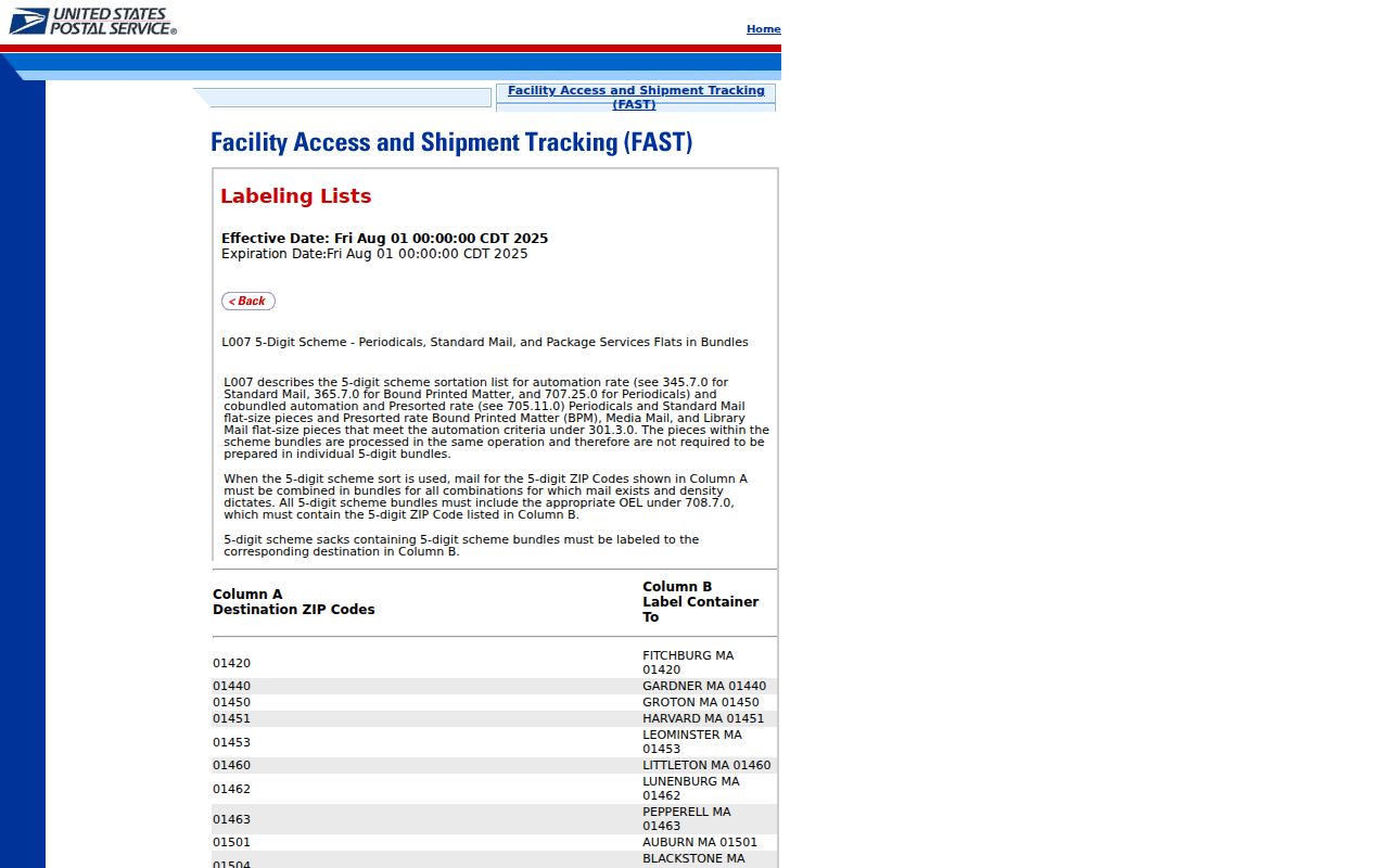
The list explains why an accepted postal label can differ from the municipality governing a parcel.
Find Bolingbrook Records by ZIP
No public portal found in the research produces a ZIP-wide roll of Bolingbrook households. The useful task is narrower: validate a postal address, map parcels bearing that ZIP value, identify the county, and move to the correct record keeper. The Will GIS parcel schema has a ZIP_CODE field, while Will Direct Search exposes Zipcode on its address tab. DuPage property tools support address, PIN, billing-name, and map routes but no ZIP-wide result mode was located.
- Enter the complete address in USPS and save the standardized city, state, ZIP, and ZIP+4.
- Compare it with the current Village map rather than assuming the postal name proves incorporation.
- Open Will or DuPage GIS, locate the parcel, and confirm county, PIN, physical address, and nearby boundaries.
- Use that county's assessor or recorder with the address or PIN, then check its voter system only when authorized details are known.
- Once the ZIP has narrowed the area, use the Bolingbrook street directory workflow for a named street.
This produces a parcel or record inventory, not a people-finder output. Label the results that way. A parcel owner, tax-mail recipient, voter match, or deed party may not live at the site today.
Bolingbrook ZIPs Cross Counties
Bolingbrook spans Will and DuPage Counties. ZIP boundaries were made for mail delivery, while counties control deeds, property assessment, many election records, and circuit cases. A 60440 or 60490 label therefore cannot tell a researcher whether to use the recorder in Joliet or Wheaton. The parcel map and PIN must decide.
The Village's resident services page shows the local government layer that sits beside postal geography.
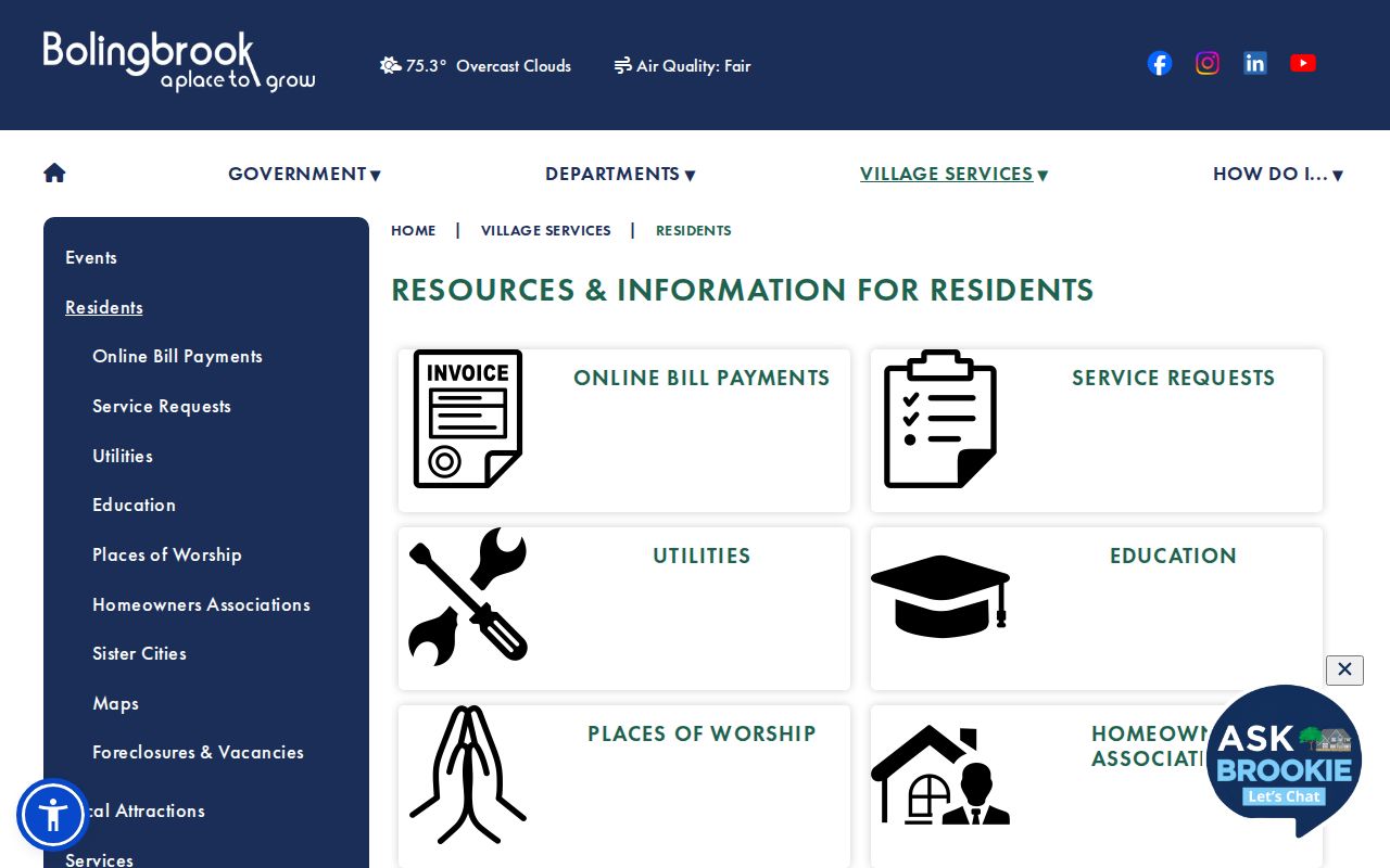
Its service links are useful context, but county and district records still require their own boundary check.
The 2025 Village transfer disclosure makes the mismatch unusually clear. It asks the filer to choose ZIP 60440 or 60490, Will or DuPage County, and DuPage, Wheatland, or Lisle Township. It also distinguishes school, library, park, and fire districts. One address can carry several valid geographic labels at once.
Boundary rule. A Bolingbrook postal label does not prove Village limits, county, township, voting district, ownership, or current occupancy.
Four Bolingbrook Address Keys
Record offices describe the same place in different ways. Keep all four forms in a research log. The ZIP is optimized for mail, while the parcel and deed systems rely more heavily on physical and legal land identifiers. Mixing these fields is a common reason a valid Bolingbrook address appears to vanish.
- ZIP and ZIP+4
- The five-digit delivery area and its more precise four-digit add-on for a delivery segment.
- Situs address
- The physical street address assigned to the parcel.
- Mailing address
- The destination for tax notices, which may be outside Bolingbrook and is not proof of occupancy.
- Legal description
- The subdivision, lot, block, tract, or metes-and-bounds wording that identifies land in recorded documents.
- Carrier route
- A postal delivery sequence, not a municipal or household boundary.
A PO box has a delivery record but no residential parcel at the box number. A unique ZIP serves one high-volume organization; none was verified for Bolingbrook. These terms help explain possible results without inventing a local category that the source did not show.
Bolingbrook Address Assignment
USPS standardizes delivery labels, but local public-safety addressing has another keeper. Will County's 9-1-1 authority handles address assignment questions in its jurisdiction, and the Will assessor address page directs some address matters there. The Village Engineering Division keeps maps, plats, and infrastructure records that can explain a local street or subdivision label.
Visit Will County 9-1-1 when an assigned address needs confirmation.
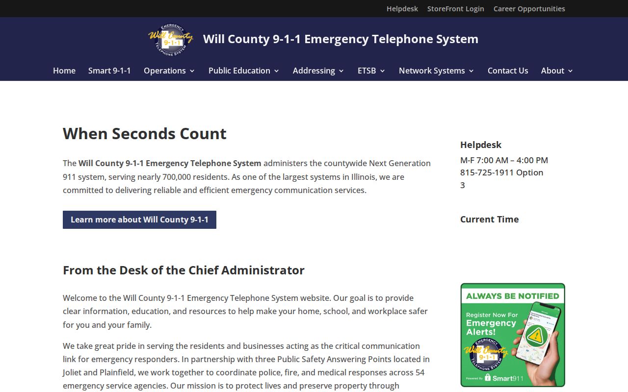
The official authority is the right fallback when a postal label and a local parcel address do not align.
Review Bolingbrook Engineering records for maps and plat-related address context.
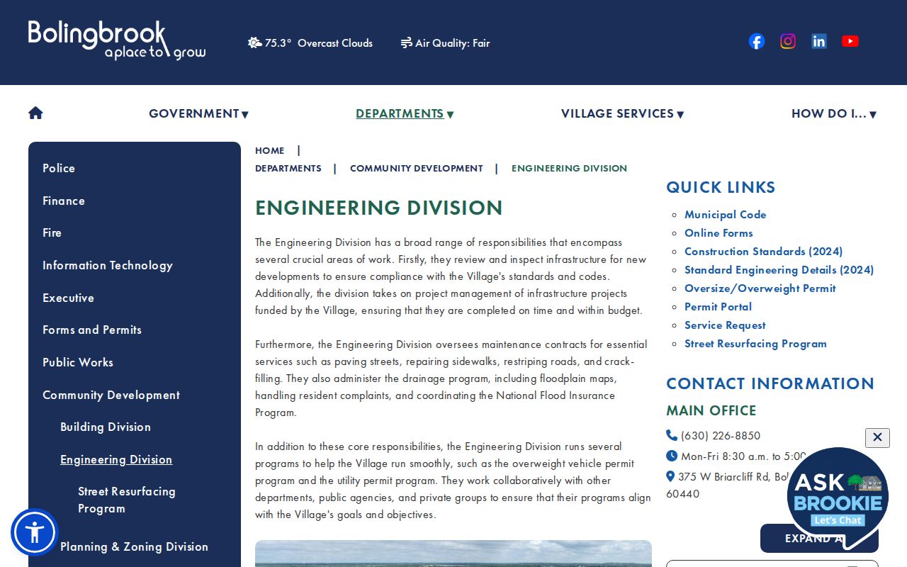
Those local records can preserve a subdivision or street description that a ZIP-only search leaves out.
For unresolved records, contact the office by phone or in person. Illinois FOIA can request a specific non-exempt map, address record, or existing file, but it does not require an office to create a ZIP-wide household list.
DuPage Bolingbrook District Search
The DuPage election search uses a detailed address and identity workflow rather than a simple ZIP filter. Its fields include last name, birth date, one identity branch, house number, street name, direction, suffix, city, district type, district, and information type. Spaces in names can matter. The form is designed to return voter and district information for a matched person, not everyone in a postal area.
Open the DuPage voter and district lookup for a DuPage-side Bolingbrook address.
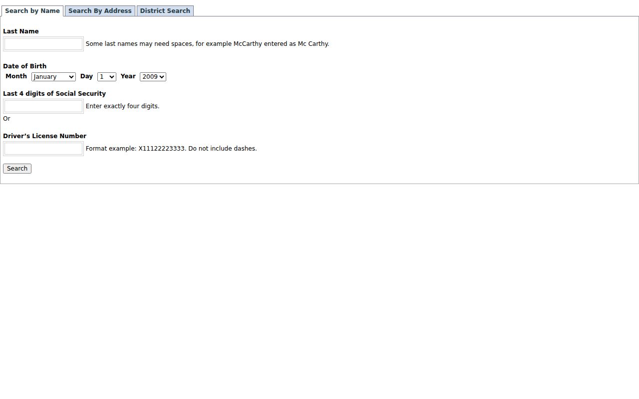
The visible controls show why the full address and county matter more than a five-digit ZIP alone.
On the Will side, ElectionLink asks for first name, last name, date of birth, house number, and street name. Illinois Election Code limits released fields and protects sensitive details. A failure to match may reflect a spelling issue, county mismatch, inactive record, or protected status.
Trace Older Bolingbrook ZIP Evidence
Historical sources can confirm how a street and postal label were used at a point in time. Fountaindale Public Library documents Bolingbrook phone books from 1977 forward and maps from 1973 through 1977, 1986, 1993, and 1995. Pairing a map year with a phone-book year can show a subdivision label, street pattern, and telephone subscriber during Bolingbrook's growth.
The 1973 telephone scan shortens Bolingbrook to “Bolngbrk.” That is a useful search variant. A subscriber entry still does not list every occupant, and an old ZIP should not be projected onto a current boundary without USPS and parcel confirmation. No dated Bolingbrook ZIP split or realignment was verified in the official research, so directory copy should not claim one.
Older school ledgers, plat books, recorder indexes, and newspapers may identify a place by DuPage Township, Wheatland, Westbury, Colonial Village, King's Park, or Bolingbrook Subdivision. Preserve the source wording, then add the modern ZIP as a separate note. That keeps postal history distinct from land and community history.
Bolingbrook ZIP Directory Limits
A Bolingbrook ZIP code directory cannot show who lives at every delivery point. ZIP results may include businesses, post-office boxes, unincorporated parcels, and addresses whose postal city differs from their government boundary. Assessor mailing fields can point elsewhere. Recorder parties can be former owners. Voter data is limited and purpose-bound.
Use only public, lawful channels. Never infer a protected address, private identifier, or present occupant from a loose ZIP match. When sources disagree, compare USPS, the Village map, the parcel GIS layer, and the transfer disclosure. The conflict may mark an annexation edge, township line, service district, or postal convention.
The best result is modest and exact: USPS confirms delivery, GIS confirms the parcel and county, the assessor identifies the owner of record, and the custodian supplies any needed document. That chain makes ZIP-based research useful without turning postal geography into a claim it cannot support.