
Bolingbrook Neighbors Across Public Records
A block lookup should separate land, owners, registered voters, subscribers, and public group contacts. The GIS map defines the set of nearby parcels. Assessors and recorders then add property facts one parcel at a time. Community sources explain a subdivision or civic area, but they do not create a household roster.
| Source | What it shows about a block | Access |
|---|---|---|
| Will GIS | Adjacent PINs, street labels, geometry, ZIP and tax-map page | Public interactive viewer |
| DuPage Parcel Viewer | Selected or buffered parcels, subdivision and aerial context | Public map and shape tools |
| County assessor | Owner and tax parcel data for each PIN | Search each parcel; no assured bulk export |
| County recorder | Deed parties, subdivision, easement and plat links | Web index, office terminals and copies |
| Voter lookup | A matched registration and district data | Exact name and address; full file restricted |
| Village association list | Community names and public contact channels | Village directory; no member roll |
| Libraries and museums | Old directories, maps, photos, news and community history | Research rooms and digital collections |
A parcel owner may live elsewhere, and a neighbor may rent or share a home without appearing on the parcel card. Report only what each dated source proves.
Map Bolingbrook Neighbors Parcel by Parcel
Start with one exact address and verify its county. In Will GIS, click the parcel polygon, save its PIN, and pan along the road while parcel, address, zoning, aerial, hydrology, and district layers are visible. In DuPage, search or click a parcel, then use “Buffer Selected Parcels” or the subdivision tools to form a nearby set. Measure and Street Intersection controls can define the frontage.
- Validate the starting address and county in the parcel map.
- Record the PIN, street frontage, subdivision, lot and block.
- Select only contiguous or clearly defined nearby parcels.
- Open each PIN in the proper assessor portal and label the owner of record.
- Use recorder, voter, permit, or history sources only for a specific follow-up.
The result is a map of land records, not a list of personal ties. Shape selection does not prove that two people are related or even that both owners live on the block. For a full named road rather than an immediate radius, use the Bolingbrook street directory.
The Will County subdivision search provides one official way to define a recorded development.
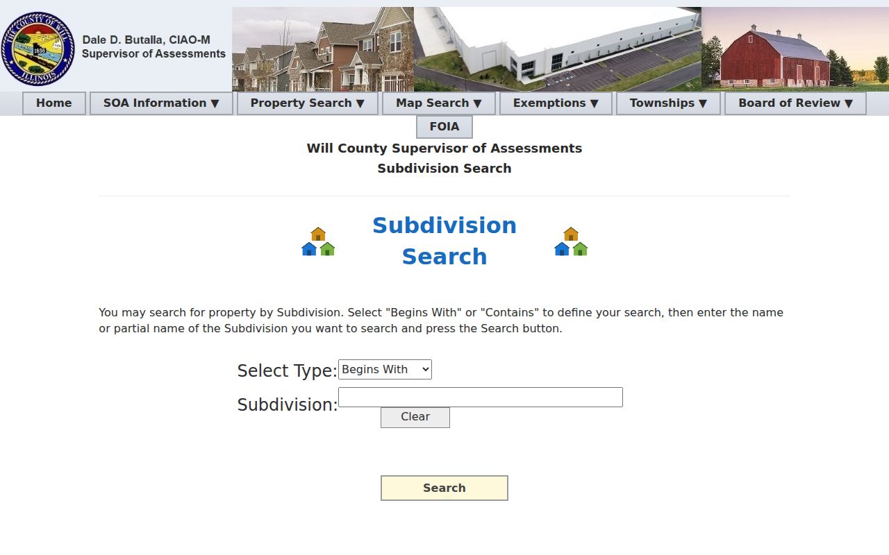
The subdivision name is a land-record key. It does not establish association membership or present occupancy.
Confirm Bolingbrook Owners Carefully
Run every selected PIN through the applicable assessor. Will offers PIN, address, owner, sales, subdivision, and property-class modes. DuPage provides PIN, address, billing-name, map, and Board of Review routes, plus parcel tabs for transfers, conveyances, legal description, maps, exemptions, appeals, and split or combine history.
The Will owner-name search is one route from a recorded name back to assessed parcels.
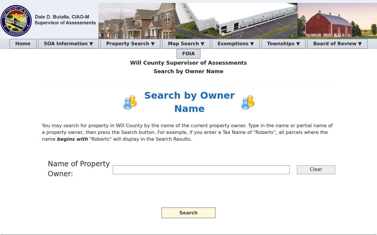
Its name match describes assessed ownership. Compare the situs address with the mailing address, but do not convert either field into a claim of current residence.
- Parcel
- A mapped unit of land with a county PIN.
- Situs address
- The physical location assigned to the parcel.
- Mailing address
- The destination used for tax notices, which may be elsewhere.
- Plat
- A recorded map that lays out lots, blocks, streets, and easements.
County Lines Split Bolingbrook Blocks
A Bolingbrook mailing address can be on the Will or DuPage side, or near another municipality or unincorporated area. A ZIP alone cannot choose the recorder. Carry the GIS county field, parcel PIN, municipality, township, subdivision, and recorder jurisdiction with every result. Turn on a county boundary layer when adjacent frontage looks uncertain.
The Village transfer disclosure shows how specific local geography becomes. It asks for ZIP 60440 or 60490, county Will or DuPage, and township DuPage, Wheatland, or Lisle. It also distinguishes school, library, and park districts. Two next-door parcels can share a postal label but route through different public bodies.
Note: A shared plat or easement explains land layout; it does not establish that deed parties are Bolingbrook neighbors today.
Read Bolingbrook Association Names Correctly
The current Village list names Americana Estates, Beaconridge, Bella Vista, Augusta Village, Bloomfield West I and II, Barclay Estates, Boughton Ridge, Brook on Janes, Chanticleer, Cherrywood, and many more communities. It is a contact inventory, not a public association member directory. No searchable umbrella roster or public membership list was located.
| Community layer | Safe conclusion |
|---|---|
| Village association directory | A named community and its public contact channel |
| Subdivision plat | Recorded lots and boundaries under that subdivision name |
| Assessor parcel | An assessed owner for a dated parcel record |
| Private roster | Not located in official public sources and should not be inferred |
Verify any individual contact before publishing it because the research did not confirm each person's current role. A nearby parcel, campaign sign, firm filing, or police record is not proof of group membership.
Bolingbrook Civic Layers Add Context
The Village services page points to public services and neighborhood resources rather than private residents.
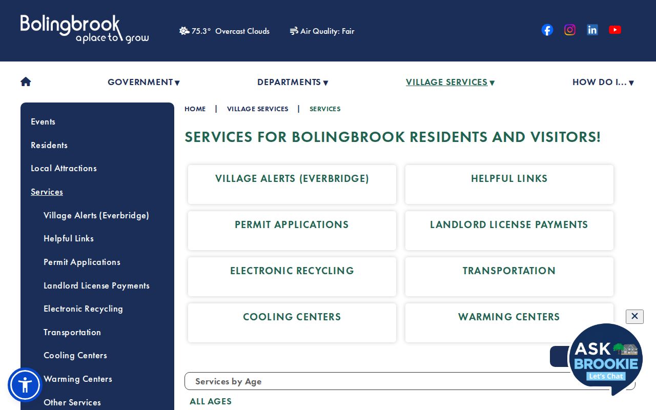
This civic layer can identify commissions, public programs, places of worship, and service contacts. It cannot identify private members. Fountaindale local-history material, Village Historic Preservation, and county museums can add public events, photos, maps, school ledgers, and old news to explain how a block developed.
Congregation, block-watch, civic-club, and social-group rosters were not found in official sources. Search public organization names and archived events, then stop short of inferring who belongs today.
Voter Records and Bolingbrook Neighbors
Illinois voter tools can confirm a registration when the required name and address match. A public result may supply status and precinct or district context. It is not a street-wide household list. Illinois Election Code rules protect identifiers and restrict full voter-file access, while protected registrations and the Address Confidentiality Program can keep an address from public view.
For block work, test only a person and address already connected to a lawful purpose. A full county file requires the proper request, affidavit, purpose, format, and fee. Do not scrape or republish an entire block's voter population. A no-match can mean changed registration, a format issue, a protected record, or no registration; it does not prove absence from the home.
Bolingbrook Block Projects and Easements
Village Building and Engineering records can date work across several parcels. They may show permit timing, project type, contractors, inspections, utility work, site development, approved plans, easements, or encroachments. The current systems support submissions and tracking, but exact public search fields and the earliest searchable year were not exposed.
Use a narrow FOIA request with an address list, record type, and date range. When an online or parcel-index route fails, the Will Recorder request form shows the official offline channel.
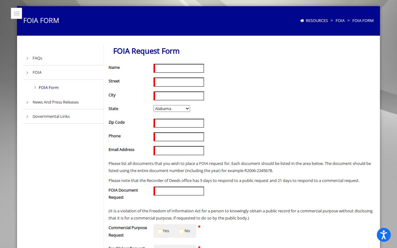
The form asks for requester details and a defined record request. A full recording number is needed for a recorder document request, so parcel and deed-index work should come first.
Official Bolingbrook Neighbor Evidence
Official rolls and commercial neighbor tools answer different questions. Official sources show a custodian, date, field meaning, and correction route. Commercial tools blend property, voter, marketing, and other feeds. They may merge people, retain stale addresses, or hide sources behind a fee.
| Measure | Official county or Village record | Commercial neighbor category |
|---|---|---|
| Source date | Usually tied to an assessment, recording, filing, or update | May be unclear |
| Meaning | Owner, deed party, applicant, or registrant has a defined role | Roles may be blended |
| Correction | Custodian or appeal channel exists | Vendor process varies |
| Block method | Parcel set can be reproduced | Radius and matching rules may be hidden |
Use the county trail when accuracy matters. Keep the date and source beside every fact, and verify a name with the office that holds the record.
Protect Privacy Around Bolingbrook Neighbors
Utility customer data, delivery data, private rosters, and protected addresses are not a public neighbor directory. Renters and household members may not appear in property records. A deed can name a trust, an assessor can show an off-site mailing address, and an old phone book can name a past subscriber. None alone proves who lives there now.
Lawful use. Use Bolingbrook neighbor records for civic curiosity, reconnecting, block history, or personal safety. Never publish protected data or use a lookup to watch, threaten, harass, or intimidate anyone.
Record corrections belong with the assessor, recorder, election office, or Village department that supplied the field. If sources disagree, preserve both dates and roles instead of choosing the most convenient name.